
A trading town on a shifting shore
Keta was an important trading post between the 14th and the late 20th centuries. The Somey Ewes were the original people of the area; the Anlo Ewe, a sub-group of the Ewe people, settled here in the 17th century after migrating from Ketu in present-day Benin via Adja Tado and Notsie in Togo. Awanyedor and Akaga, sons of Torgbui Wenya, the founder of the Anlo State, are said to have left Anloga to found Keta as a fishing village.
The town drew the Danes, who first placed a factory here to sell alcohol. After the Sagbadre War of 1784, they built Fort Prinzenstein — 'Prince's Stone' — which let Keta flourish in commerce. The Dutch West India Company had earlier built Fort Singelenburgh on the same site in 1734, then abandoned it in 1737. The fort was used as a dungeon for enslaved people awaiting transportation to the Caribbean until 1803, and in 1850 it was sold to Britain along with the rest of the Danish Gold Coast. Keta later served as an open port until Tema Harbour began operations to the west in 1962. Britannica records that before European arrival in the 15th century the area was part of the kingdom of Anlo, and that the settlement was a port for trade in slaves, ivory, spices and gold.

The sea takes the town
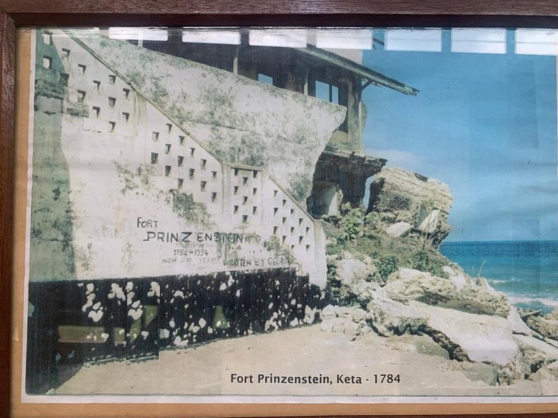
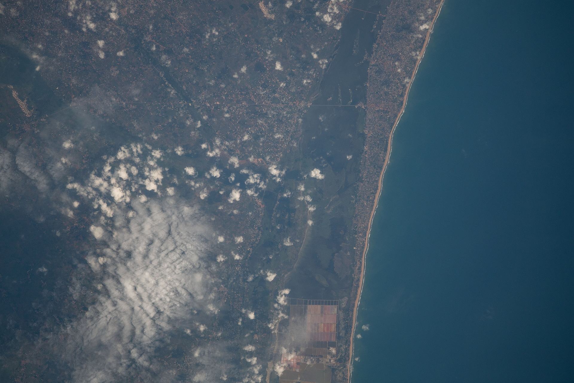
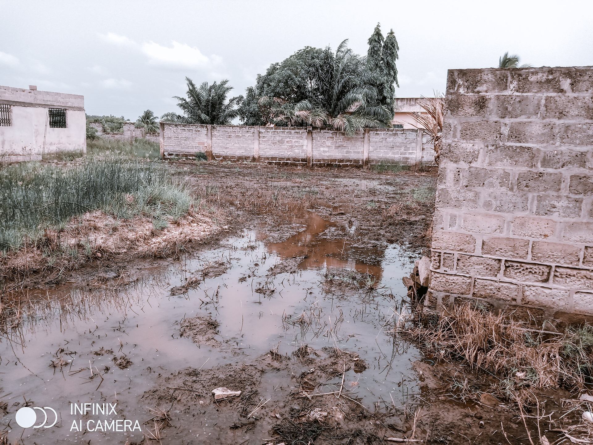
Fort Prinzenstein was built at the water's edge, as most slave-trade forts were. By 1907 the sea had retreated about 600 feet, and since then Keta has faced tidal waves, perennial flooding and sustained sea erosion. The Bremen Factory and a coconut plantation that stood near the high-water mark in 1907 had been swept away by 1924; erosion advanced as far as Queen Street and began to wear away the fort. Britannica records that during the 20th century more than half of what had been the area of the town was washed away, and that many of Keta's inhabitants moved south along the coast to Dzelukofe.
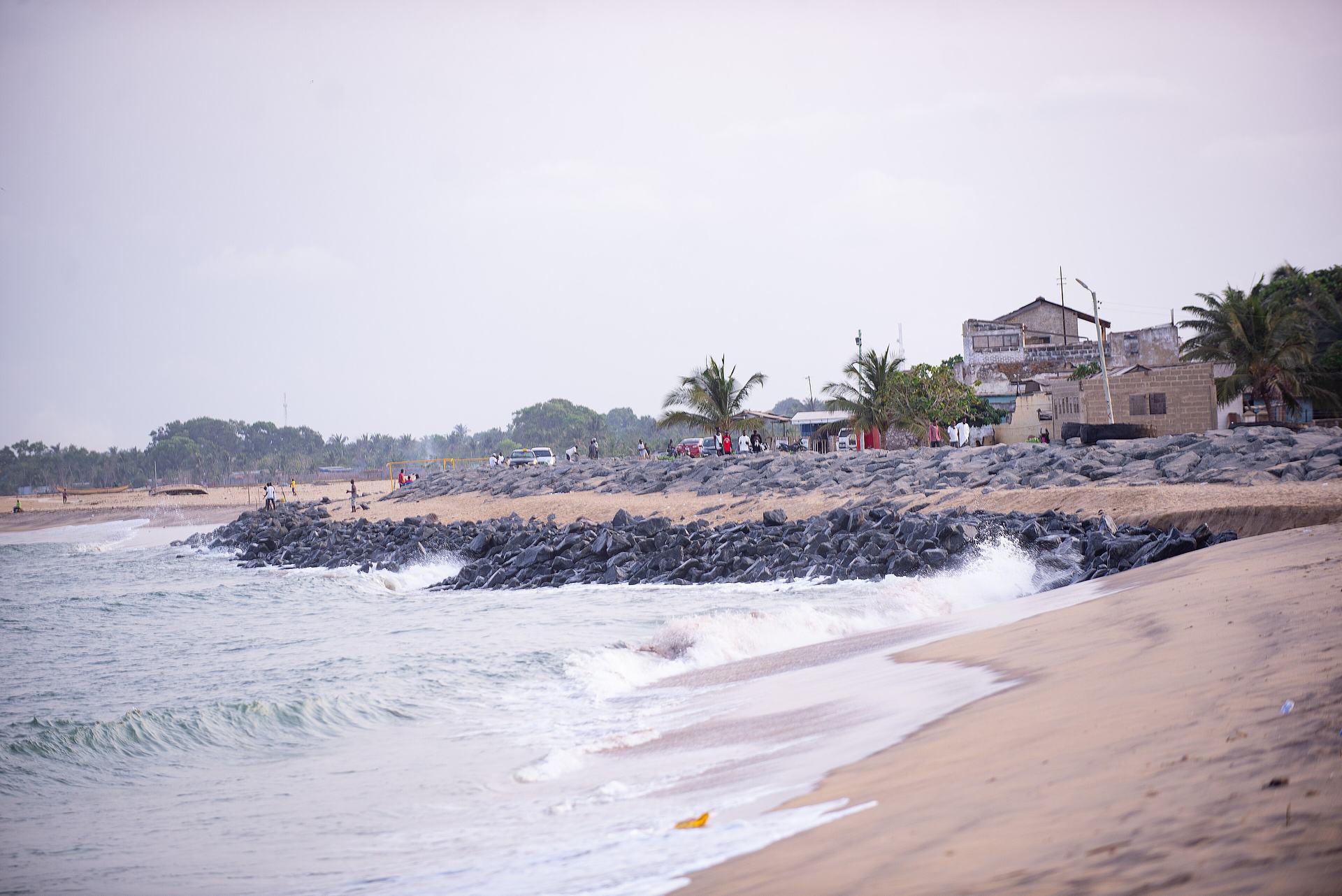
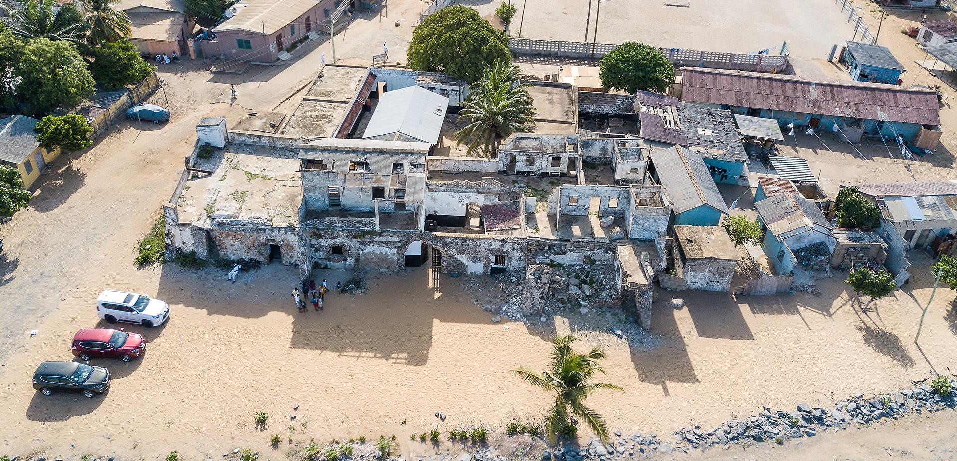
The fort was used as a prison for a period before it was partially destroyed by the sea in 1980. ICOMOS Ghana, the Ghana Museums and Monuments Board and the Danish Embassy made efforts to preserve it in 1991, but the sea kept coming. UNESCO notes that the sea has attacked a major part of the fort, that its protection has been enhanced by a sea-defence wall, and that efforts are being made to stabilise the remaining parts. A caretaker quoted by Dialogue Earth describes the sequence plainly: first the coconut trees went, then the houses, then the fort. This is not distant history. Communities along this coast — Dzita, Keta, Horve, Blekusu and Adina among them — have lost thousands of structures, and the Keta Sea Defence Project, built between 1999 and 2000, has offered relief while also increasing erosion further east.

Anlo life: lagoon, shallots and salt
The Keta Lagoon is the largest lagoon in Ghana, with a water area of about 300 square kilometres inside a protected wetland of roughly 1,200 square kilometres. It is brackish, fed by seasonal seawater inflow and by rivers, and it is the core of the Keta Lagoon Complex Ramsar Site. The lagoon has long been used intensively: fishing with drag nets, hook and line, traps and bottle traps; cutting reeds for thatch and weaving; harvesting salt; and irrigating vegetable crops. Salt mining is widely undertaken around Kedzi and Adina, and salt is sold mainly to buyers from Mali and Burkina Faso.
The area is also Ghana's foremost shallot-growing district, with an estimated 1,000 acres of shallot farms cultivated annually, alongside tomatoes, okro, chilli pepper and garden eggs. Reeds harvested along the lagoon and river banks are woven into mats, a livelihood for communities along the road from Dabble to Savietula Junction. The lagoon's mangrove and swamps are the source of many fish and other species, and the Fuveme to Anloga beach stretch is a major sea-turtle breeding area, with leatherback, green and olive ridley turtles nesting between November and March. Keta's market, its fishing beaches and its shallot beds are not side attractions; they are the working life of the place.

What to do
Things to do in Keta
-
1.Fort Prinzenstein
The reason most travellers come to Keta. Built by Danish traders in 1784 after the Sagbadre War, this fort held enslaved Africans in its dungeons until 1803 and later served as a prison before the sea partially destroyed it in 1980. It is one of the few slave-trade forts east of the Volta River and forms part of Ghana's UNESCO-listed forts and castles. Only a fraction of the original structure remains, and in places only the dungeons can still be seen — which is precisely why it matters.
Tip: Come with time to sit with what you are seeing rather than to tick off a monument. The caretakers and local historians who keep the site are often the best guides to what has been lost.
-
Attraction
2.Keta Lagoon Complex Ramsar Site
Ghana's largest lagoon, a brackish water-body stretching along the coast behind a narrow ridge, and the heart of a Ramsar-listed wetland of international importance. Its mangrove swamps and flood-plains support fish, turtles and enormous numbers of birds, and the surrounding communities fish, farm and harvest salt from it. The Forestry Commission notes that the site is not yet developed to receive tourists, so this is a place to visit with local guidance rather than expecting visitor infrastructure.
Tip: Arrange a boat and guide locally in Keta town rather than turning up at the water's edge expecting a ticket office. Early morning is the calmest and most rewarding time on the water.
-
Attraction
3.Birdwatching on the lagoon
Keta Lagoon is the most important wetland on Ghana's coast for waterbirds and, with neighbouring Songor, the fourth most important waterbird site on the Gulf of Guinea coast. Some 76 waterbird species have been recorded, with maximum numbers estimated well over 100,000 birds, including curlew sandpiper, ringed plover, greenshank, little stint, spotted redshank and black-winged stilt. The Fiahor, Woe, Tegbi, Adina and Afiadenyigba sections are the most important for waterbirds, and the tiny islands are the special draw.
Tip: Shorebirds are most abundant during the European winter, when migratory species arrive. Bring binoculars; you will not get close to the flocks on foot.
-
Attraction
4.Keta Lagoon islands
Scattered across the lagoon are small, undeveloped sand islands that give the Ramsar site much of its character. They are reached by locally arranged boat from Keta town and are known for birdwatching, with breeding and roosting birds using them through the year. There is no resort, no jetty and no queue — just water, reeds, mangroves and the sound of wings. It is the kind of outing that rewards curiosity and a willingness to go at local pace.
Tip: Agree the route and the return time with your boatman before setting off, and take water and sun protection; there is no shade or shop out on the islands.
-
5.Keta Emancipation Beach
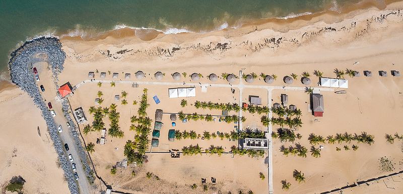
A Gulf of Guinea beach sitting directly behind Fort Prinzenstein, formerly used for Emancipation Day commemorations and now run as a beach resort. Its position gives it a particular weight: you can walk from the fort's remaining walls straight onto the sand where the Atlantic meets them. It is a good place to end a visit to the fort, letting the history settle while you watch the fishing canoes and the surf.
Tip: The beach is at its best in the cooler hours of the morning and late afternoon. Swimming here demands care — this is open Atlantic surf, not a sheltered bay.
-
6.Aborigines Beach
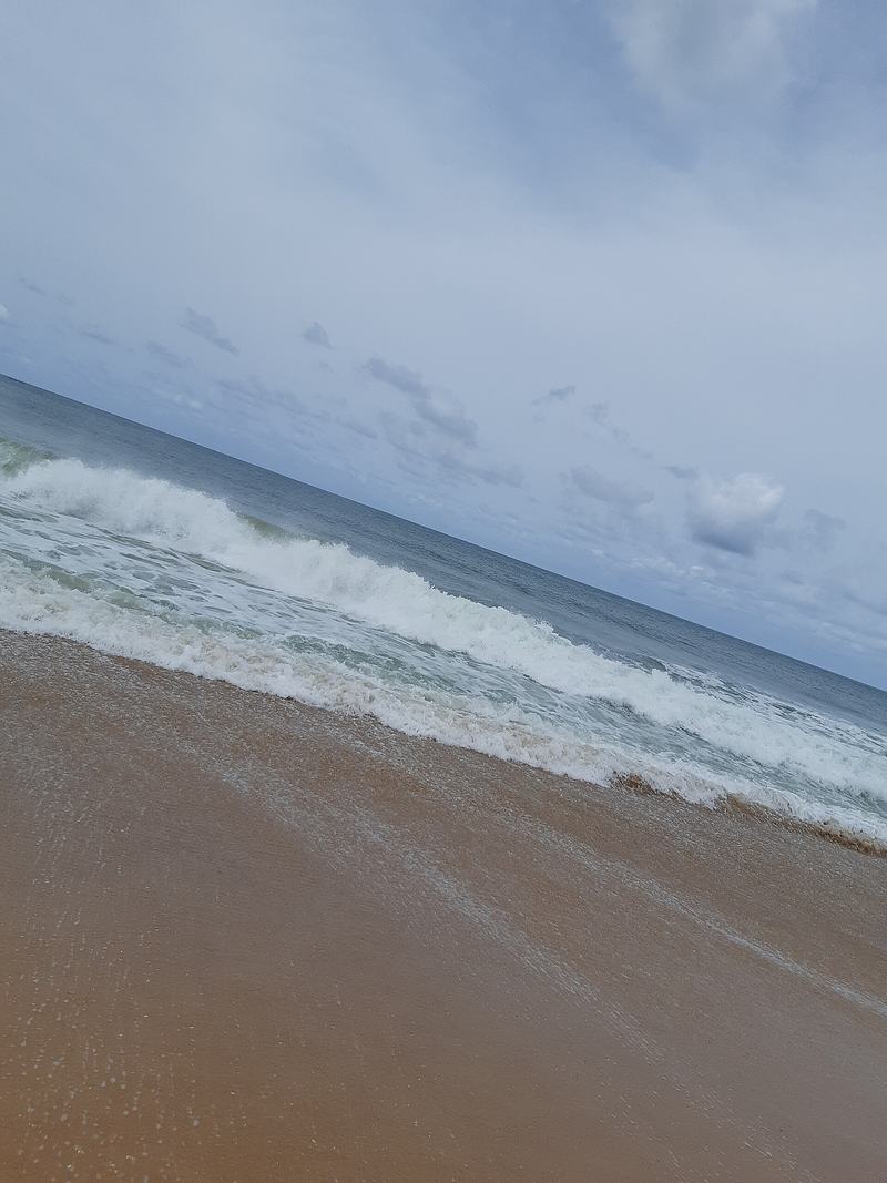
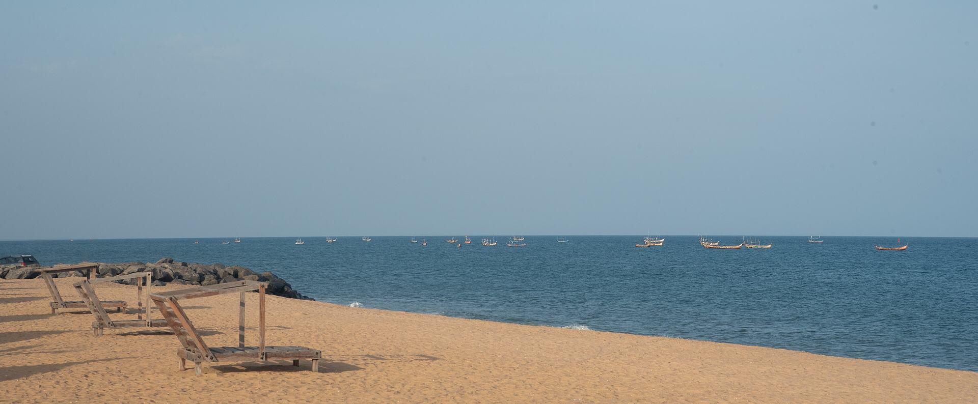
A golden-sand Atlantic beach at Keta, fronted by the long-running Aborigines Beach Resort. It is one of the town's established seaside spots, with the open ocean on one side and the lagoon's low green fringe not far behind. For travellers based in Keta it makes an easy, unhurried half-day: sand, sea, and the constant traffic of fishing boats working the shoreline.
Tip: Combine it with a walk along the shore towards the fort so you can see for yourself how close the sea now stands to the town's remaining heritage.
-
Attraction
7.Cape St. Paul Lighthouse
A red-and-white metal lighthouse built in 1901 on the beach at Woe, between the Keta Lagoon and the Atlantic. It has a skeletal pyramidal base with the upper third enclosed, housing the lantern and gallery. Local tradition holds that it guides ships away from a mythical massive underwater mountain, and it is thought to be the oldest lighthouse in Ghana. It is a striking, photogenic landmark on an otherwise low, flat coast.
Tip: Woe is a short trip from Keta town and also has a periodic market, so a visit can be paired with a morning of local trading life.
-
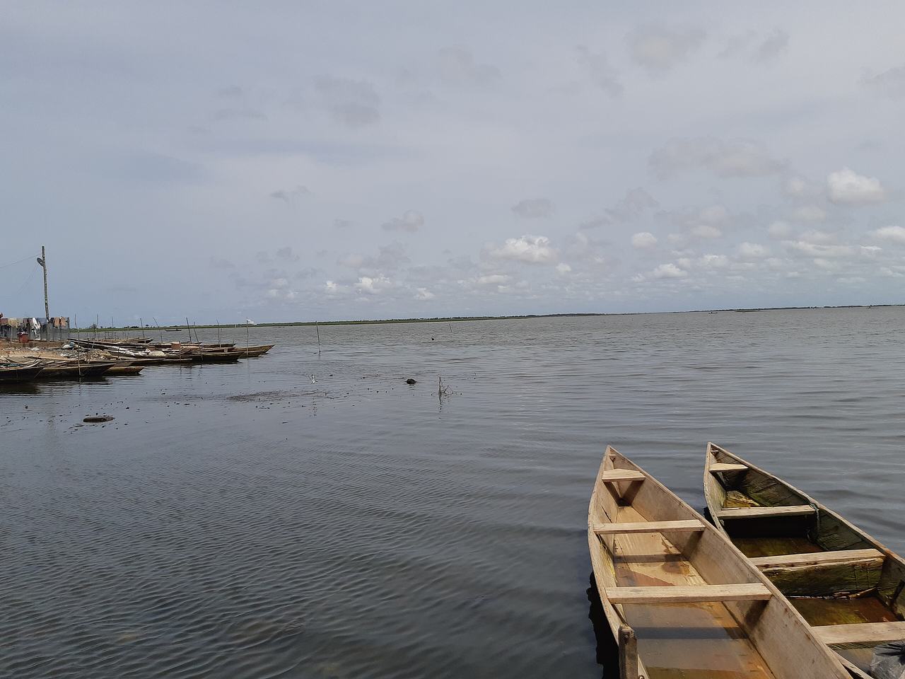
Photo: Nana Ama Pokua · CC BY-SA 4.0 · Source 8.Keta Market
A long-established open-air market in Keta town, known for fish, salt, vegetables and the shallots for which this district is famous. It is the practical centre of local life and the best place to understand how the lagoon and the shallot beds turn into household income. Come to look, listen and buy fruit rather than to shop for souvenirs.
Tip: Go in the morning when the fish is freshest and the market is at its busiest. Ask before photographing traders and their stalls.
-
Attraction
9.St. Michael Co-Cathedral
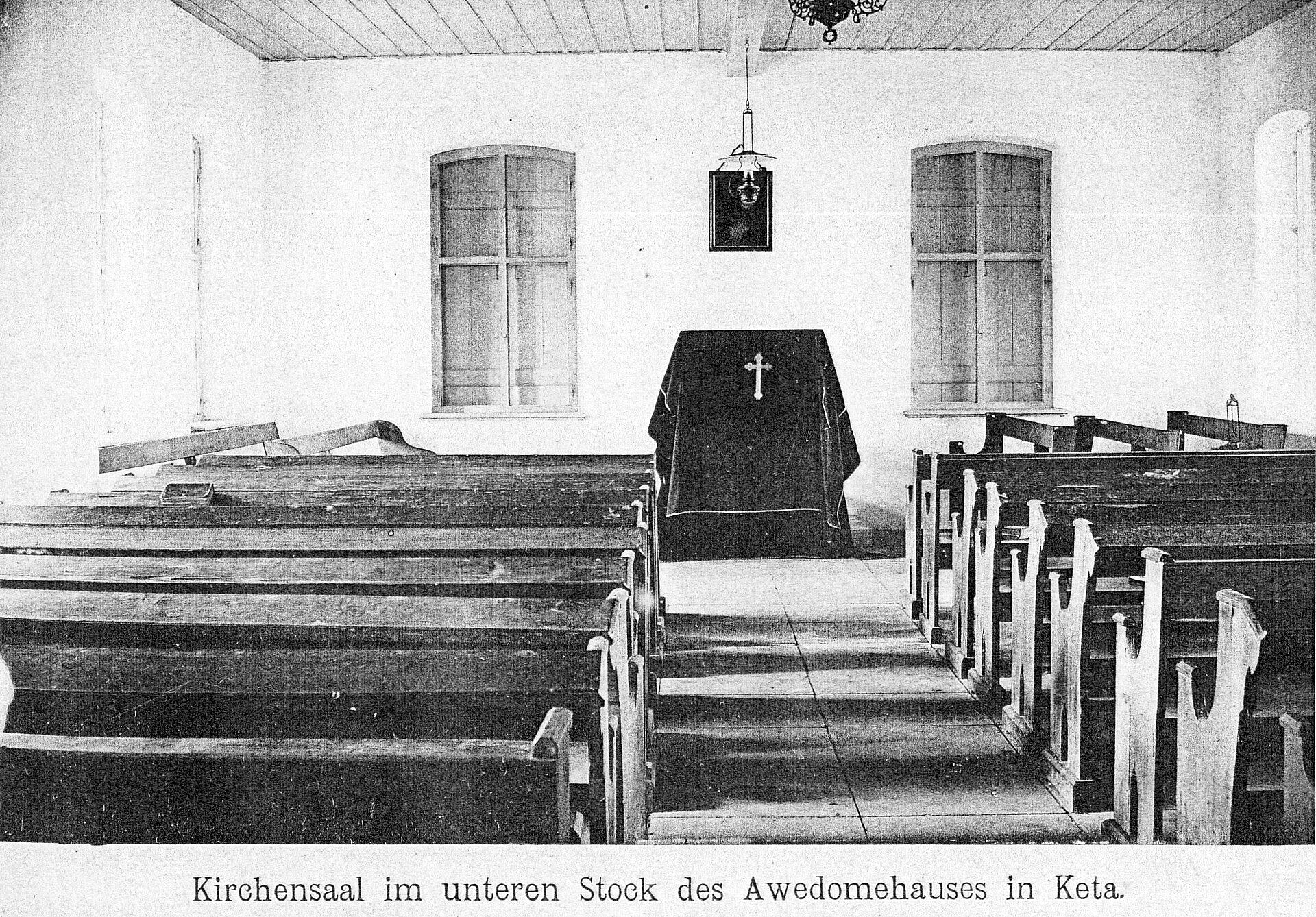
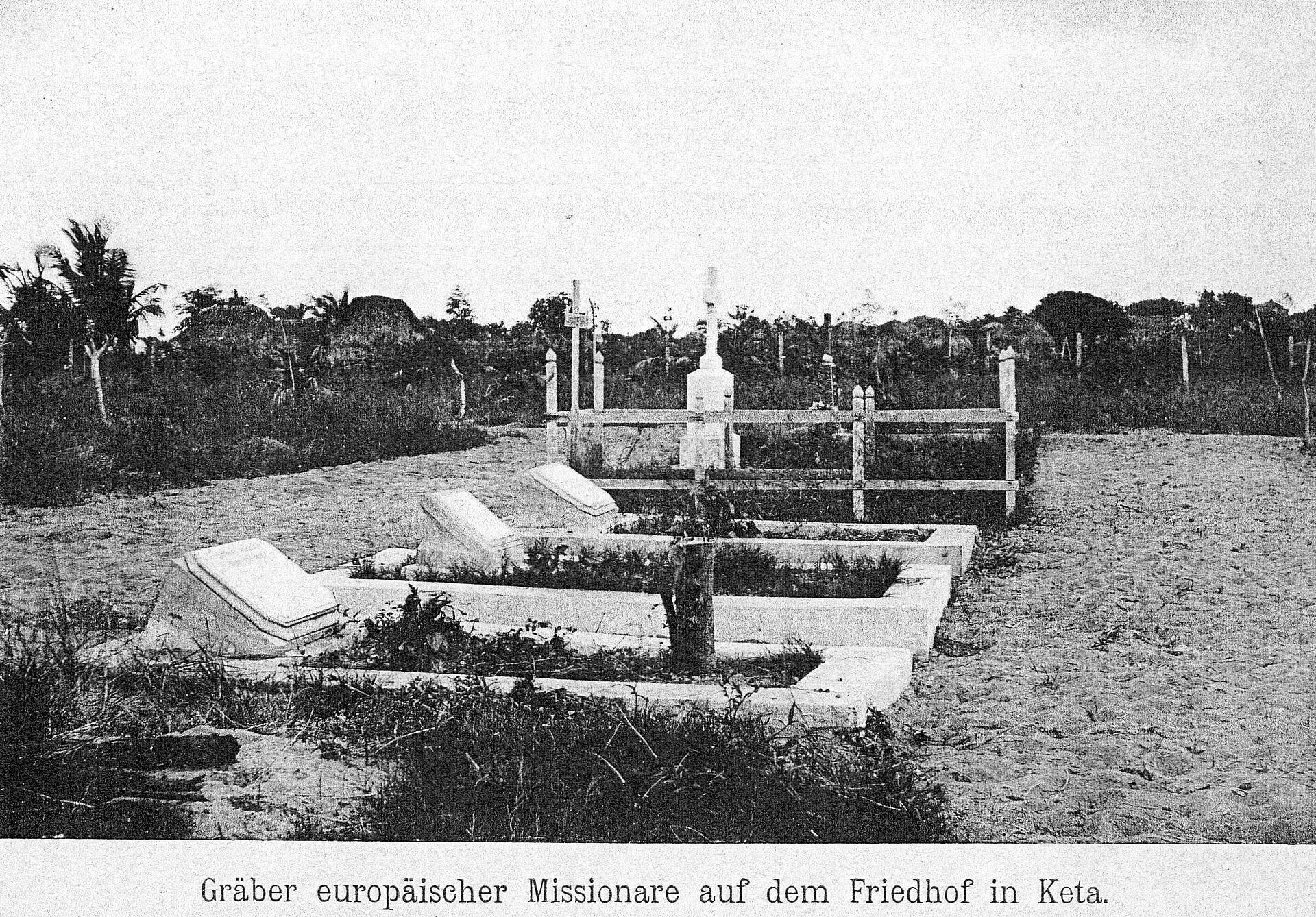
A Roman Catholic co-cathedral in Keta, in the Diocese of Keta-Akatsi, which holds the tomb of Bishop Augustin Herman. Its presence reflects the town's long missionary history: the North German Missionary Society moved its work from Peki to Keta, and its missionaries landed at nearby Dzelukofe in September 1853. A quiet, dignified stop that adds a different layer to a visit dominated by the fort and the sea.
Tip: This is an active place of worship. Visit outside service times, dress modestly, and keep voices low inside.
-
Attraction
10.Keta Sea Defence Project site
The coastal engineering scheme built to protect and stabilise the shoreline from Horvi/Hlorve to Keta, begun after the contract was awarded in 1996 and completed around 2000. It created a canal between the lagoon and the sea so that floodwater could drain, and a road was built through the reclaimed land. Seeing the groynes and revetment in person makes the scale of the erosion problem — and the debate about hard engineering — concrete rather than abstract.
Tip: Read up on the trade-offs before you go: the defences have reduced erosion locally while increasing it further east, which is worth understanding as you look at the structures.


Plan your time
Suggested itinerary
Half a day: the fort and the shore
Start at Fort Prinzenstein while the morning is still cool, giving yourself time to walk the remaining walls and the dungeons and to talk with whoever is keeping the site. Then step straight onto Keta Emancipation Beach behind the fort and walk the shoreline, watching how close the Atlantic now stands to the masonry. Finish with a slow loop through Keta Market for fish, salt and shallots, and a cold drink. This is a compact, walkable half-day that puts the town's history and its present predicament side by side.
Fort Prinzenstein→Keta Emancipation Beach→Keta Market
One day: history, lagoon and birds
Begin at Fort Prinzenstein, then head out onto the Keta Lagoon Complex Ramsar Site with a locally arranged boat, aiming for the lagoon islands and the bird-rich sections around Fiahor, Woe, Tegbi, Adina and Afiadenyigba. Spend the middle of the day on the water and among the mangroves, then return to town for Keta Market. In the late afternoon, drive the short distance to Woe for the Cape St. Paul Lighthouse on the beach, and end at Aborigines Beach as the light goes. One day gives you the fort, the wetland and the coast without rushing.
Fort Prinzenstein→Keta Lagoon Complex Ramsar Site→Keta Lagoon Islands (Volta Region island experiences)→Keta Lagoon Birdwatching→Keta Market→Cape St. Paul Lighthouse→Aborigines Beach
Two days: Keta and the wider Anlo coast
Day one follows the one-day plan — fort, lagoon, birds, market, lighthouse and beach. On day two, slow down and go deeper: revisit the lagoon at first light when the birds are most active, then walk or drive the coast to see the Keta Sea Defence Project site and understand the engineering that now shapes this shoreline. Add St. Michael Co-Cathedral for the town's missionary history, and leave time for the fishing beaches, where the morning catch and its market are a spectacle in themselves. If your visit falls around Hogbetsotso, build the day around the festival instead.
Fort Prinzenstein→Keta Lagoon Complex Ramsar Site→Keta Lagoon Birdwatching→Keta Sea Defense Project Site→St. Michael Co-Cathedral, Keta→Aborigines Beach

Seasons and festivals
When to go
Keta sits in an equatorial climate but is one of the driest districts along Ghana's coast, with annual rainfall of less than 1,000 mm. The main rainy season runs from March to July, and September and November usually record the lowest rainfall. Average daily temperatures hover around 30°C, with high humidity. For birdwatching, the European winter is the peak period, when migratory shorebirds are most abundant on the lagoon; sea turtles nest along the Fuveme to Anloga beach stretch between November and March. The harmattan-influenced dry spell falls roughly from January to March. If you want the festival atmosphere, plan around Hogbetsotso in November.
- Hogbetsotso (Hogbe'za) · November, with the grand durbar in Anloga
- The annual festival of the Anlo State, held in November and centred on a grand durbar at Anloga, the traditional capital. It commemorates the Anlo exodus from Notsie in present-day Togo under Amega Wenya and Tɔgbi Sri I, fleeing the rule of Tɔgbi Agorkoli. The programme blends social events — awards nights, sports, pageants and music — with traditional rites including Nugbidodo reconciliation rituals, a ban on drumming and noise-making, and cleansing ceremonies. A mini Hogbe festival in Alakple and a Children's Hogbe in communities across the greater Anlo region precede the main durbar.
Access
Getting there and around
Keta lies on Ghana's south-eastern coast, east of the Volta estuary and roughly 140 km east-north-east of Accra, off the Accra–Aflao main road. The Keta Municipal District is one of the fifteen administrative districts of the Volta Region, carved out of the former Anlo District, and Keta is its administrative capital. Travellers generally approach from Accra along the coast road towards Aflao, or from Ho and the wider Volta Region. Once in the district, the main sights are close together: Fort Prinzenstein and Emancipation Beach sit in Keta town, Keta Market is in the town centre, and Woe and its lighthouse are a short drive away. The lagoon is reached by locally arranged boat from Keta town, and there is no developed visitor infrastructure at the Ramsar site, so arrange transport and boats through your accommodation or a local guide rather than expecting to find them on arrival.
Good to know
Before you go
Keta is a working town, not a resort strip, and much of what you will see is fragile in every sense. Treat Fort Prinzenstein as a place of mourning as well as a monument: the dungeons held people who were shipped to the Caribbean, and the site is still being lost to the sea. Walk carefully on unstable masonry and follow any guidance from caretakers. On the lagoon, go with a local boatman, agree your route and return time in advance, and carry water and sun protection — there is no shade or shop on the islands. Dress modestly at St. Michael Co-Cathedral and around town, and ask before photographing people, markets or fishing crews. Bring cash, as card payment is not the norm in small markets and for boat trips. Finally, remember that the erosion you are looking at is not scenery: it has displaced families along this coast, so talk about it with respect.

FAQ
Questions travellers ask about Keta
Where is Keta in Ghana?
Keta is a coastal town and the capital of the Keta Municipal District in the Volta Region, on Ghana's south-eastern coast. It lies east of the Volta estuary, about 140 km east-north-east of Accra, on a sandspit between the Gulf of Guinea and the Keta Lagoon.
Why is Fort Prinzenstein important?
It is a Danish fort built in 1784 and used as a dungeon for enslaved Africans awaiting transportation to the Caribbean until 1803. It is one of the few slave-trade forts east of the Volta River and forms part of Ghana's UNESCO World Heritage listing of forts and castles.
How much of Fort Prinzenstein is left?
Only a fraction of the original structure survives. The fort was partially destroyed by the sea in 1980, and reports describe more than half of the original building as lost to the Atlantic, with only the dungeons visible in some places. UNESCO notes that a sea-defence wall has improved its protection and that efforts continue to stabilise what remains.
Is Keta good for birdwatching?
Yes. Keta Lagoon is the most important wetland on Ghana's coast for waterbirds, with some 76 waterbird species recorded and maximum numbers estimated well over 100,000 birds. The Fiahor, Woe, Tegbi, Adina and Afiadenyigba sections are the best areas, and shorebirds are most abundant during the European winter.
When is the best time to visit Keta?
The district is one of the driest on Ghana's coast, with the main rainy season from March to July and the lowest rainfall usually in September and November. For birds, aim for the European winter; for sea turtles, the nesting season runs from November to March. Hogbetsotso, the Anlo festival, falls in November.
What is Hogbetsotso?
It is the annual festival of the Anlo State, held in November with a grand durbar at Anloga, the traditional capital. It commemorates the Anlo exodus from Notsie in present-day Togo and includes reconciliation rituals, a ban on drumming and noise-making, and cleansing ceremonies.
Can I visit the Keta Lagoon islands?
Yes, but there is no developed visitor infrastructure at the Ramsar site. The small sand islands are reached by locally arranged boat from Keta town, and the Forestry Commission notes the site is yet to be developed to receive tourists, so arrange a boatman and guide in advance.
In pictures
Keta in pictures
Keep exploring
More destination guides
Sources for this guide (13)
- Keta — Wikipedia
- Fort Prinzenstein — Wikipedia
- Keta — Encyclopaedia Britannica
- Forts and Castles, Volta, Greater Accra, Central and Western Regions — UNESCO World Heritage Centre
- Keta Lagoon Complex Ramsar Site — Forestry Commission, Ghana
- Keta Lagoon Ramsar Site (6343) — Key Biodiversity Areas
- Safeguarding the Keta Lagoon Complex Ramsar Site (KLCRS) — Satoyama Initiative
- Eroding homes: Ghana's disappearing coastal communities — PreventionWeb / Dialogue Earth
- Historic Fort Prinzenstein fades as sea continues to devour Keta coastline — GhanaWeb
- Keta: The Pearl Of The East Of Ghana — ModernGhana
- 2024 Hogbetsotso Festival launched in Tsiame — MyJoyOnline
- Cape St. Paul Lighthouse — Wikipedia
- Keta Municipal — Ghana Districts
Written September 29, 2026 from these sources and reviewed by the VisitGhana.app team. Confirm practical details locally before travelling.


