
A bridge that carried a new nation
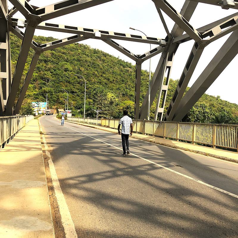
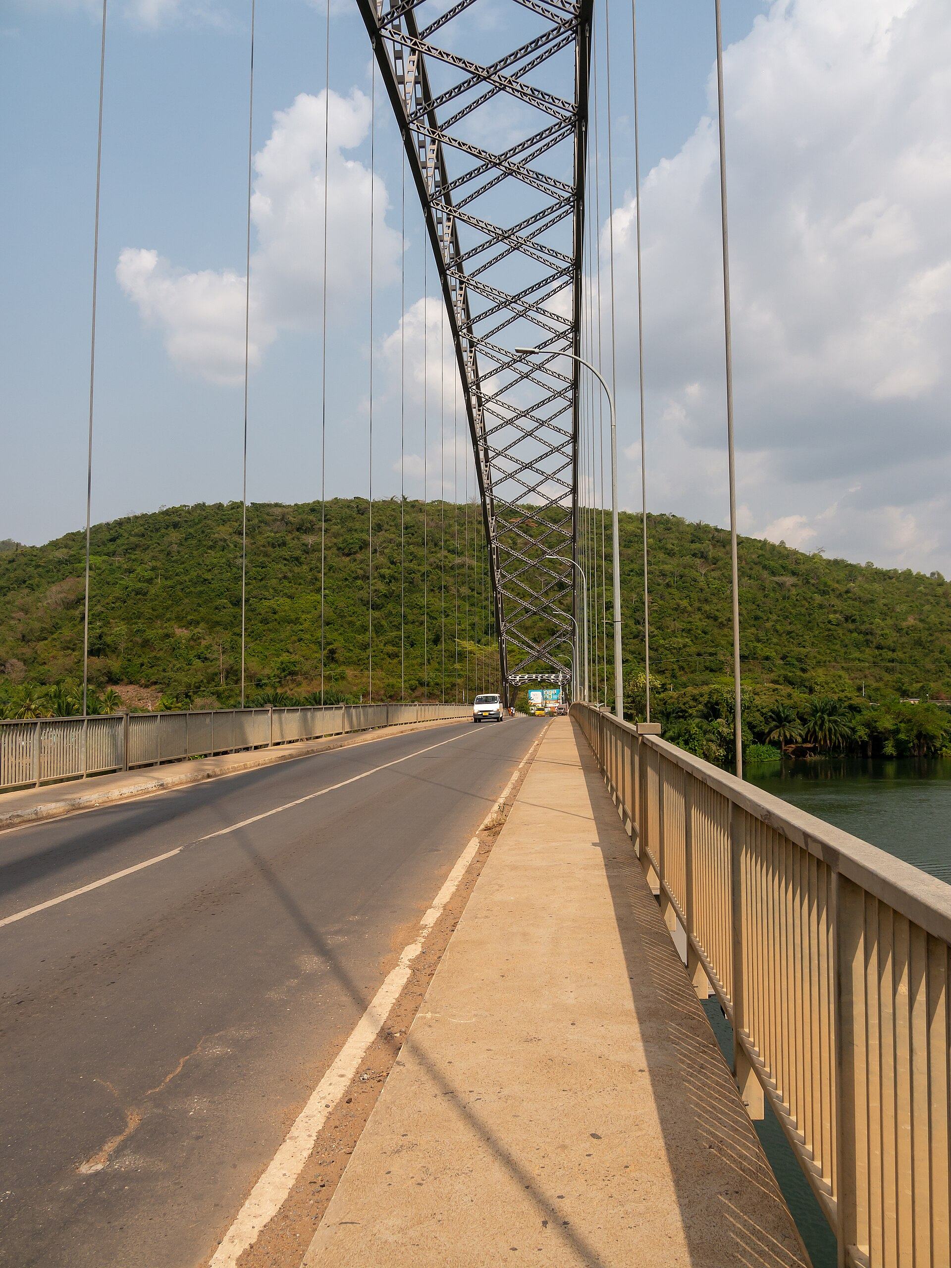
Before the bridge, crossing the Volta here meant a ferry at Senchi, where delays could stretch to days. In 1953, planners chose a narrow neck of the river at Adomi, about 2.5 miles upstream of the ferry and closer to the projected dam, for a single-span crossing. Consulting engineers Sir William Halcrow & Partners administered the project, Freeman Fox & Partners designed the arch, Dorman Long built it and Cleveland Bridge & Engineering fabricated the steel in the United Kingdom. Work began in March 1955 and the bridge was substantially complete by January 1957, at a cost of £682,000. Kwame Nkrumah opened it on 25 January 1957 — the same year Ghana won independence — and it became the first permanent bridge to span the Volta and the country's longest suspension bridge. Its crescent arch, 334 m long with a main span of 245 m, was designed to complement the trough of the valley; the engineers noted that the silver steelwork would offset the green of the hills behind it. The bridge has since been woven into national life: it appears on Ghanaian stamps and currency, and in April 2019 it was formally classified as a tourist site after agreement between the Asuogyaman District, the Ghana Highway Authority and the Ghana Tourism Development Company. Between 2014 and 2015 the entire suspended road deck and hangers were replaced, and the rehabilitated bridge reopened to traffic in December 2015.

The dam, the lake and the people who moved
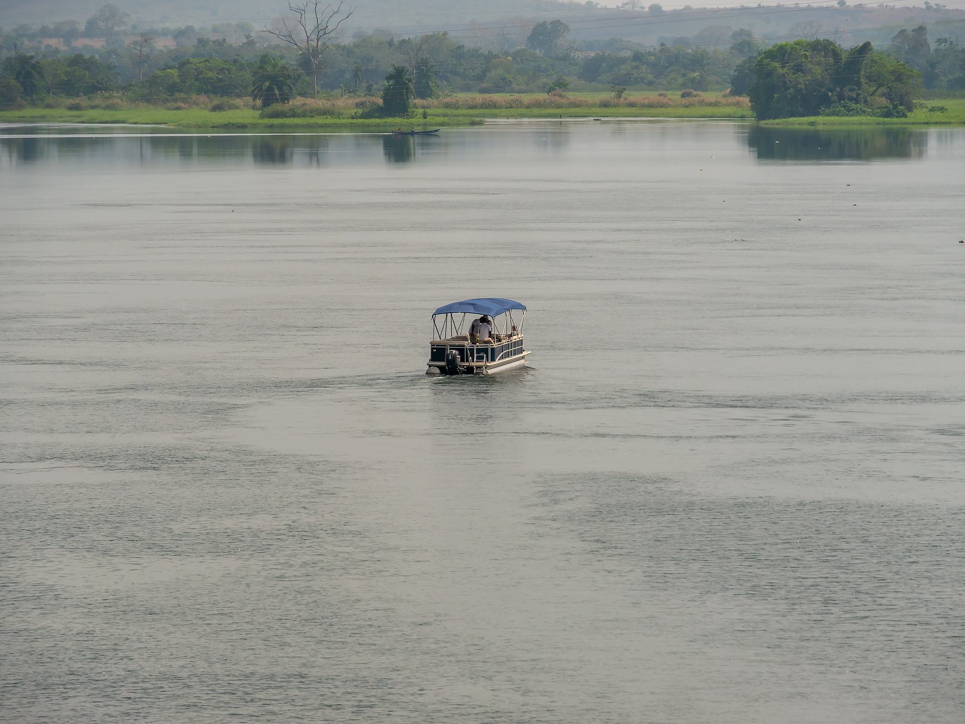
Atimpoku sits about 2.5 miles downstream of the Akosombo Dam, the rock-fill embankment that dammed the Volta in the Akosombo gorge and created Lake Volta. Conceived as the engine of Nkrumah's industrial vision — power for an aluminium smelter at Tema — the dam was built between 1961 and 1965 by the Italian consortium Impregilo, financed jointly by Ghana, the World Bank, the United States and the United Kingdom, and owned by the Volta River Authority. Its consequences were immense and uneven. The rising reservoir flooded about 740 villages and displaced roughly 80,000 people, who were moved into 52 resettlement townships; later studies found the planning insufficient, with families questioning the land valuations behind their compensation. The seasonal floods that had once spread nutrient-rich silt across the lowlands ended, and farming communities turned to fertilisers, whose runoff fed algal growth and disease-carrying insects. Lake Volta now covers 8,502 sq km — 3.6 per cent of Ghana's land area — and stretches some 400 km, making it the largest artificial lake by surface area in the world. It supplies most of Ghana's electricity and is exported to neighbours, and it remains a working lake of fishing, navigation and irrigation. In September and October 2023, heavy rain forced controlled spillage from Akosombo and the Kpong Dam downstream; the resulting floods displaced more than 31,000 people. The lake is beautiful, and it was made at a cost that is still being counted.

Akwamu country: warriors, traders and a forest on the hill
Atimpoku lies in Akwamu country. The Akwamu are an Akan people whose empire rose in the 17th century and, at its height in the late 17th and early 18th centuries, reached roughly 400 km along the Gulf of Guinea, from Ouidah in present-day Benin to Winneba. Their capital moved over time — Asamankese, Nyanoase, Nsachi and finally Akwamufie, which remains their chief town and sits just upriver from Atimpoku. Akwamu power rested on military conquest, tributary networks and control of trade routes between coast and forest; in 1693 an Akwamu force under Asimani seized Osu Christiansborg Castle from the Danish. The state also grew wealthy from the maritime trade in gold and slaves, and Akwamu captives carried their resistance across the Atlantic: in 1733, enslaved Akwamu people on St John in the Danish West Indies rose in one of the earliest and longest slave revolts in the Americas. Today about 60,000 Akwamu live in Ghana, many in Eastern Region towns including Akwamufie, Atimpoku and Senchi. Between Atimpoku and Akwamufie, on the eastern side of the Volta, the Akwamu Hills Community Forest climbs to about 400 m above sea level, forming the southern limit of the Akwapim-Togo Range where it meets the Akwapim Plateau in the Volta Gorge. The hill gives a rare panoramic view over the lower Volta system, and the forest — owned jointly by royal families of the Akwamu Traditional Area — shelters primates, duikers and around 150 recorded bird species, including the globally threatened white-necked picathartes. Conservation and ecotourism work here is being developed with the Akwamu Traditional Council.

Market days and river livelihoods
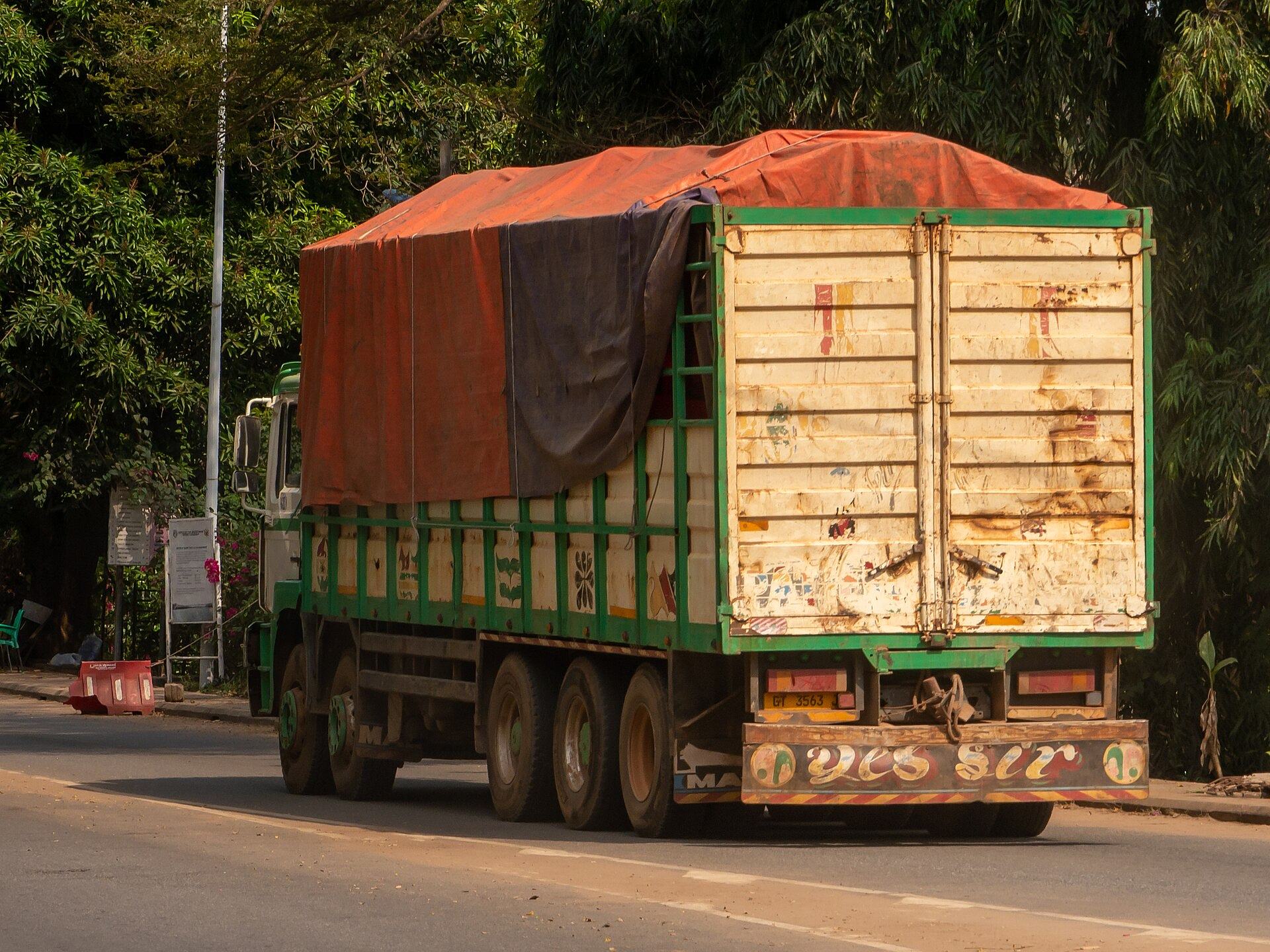
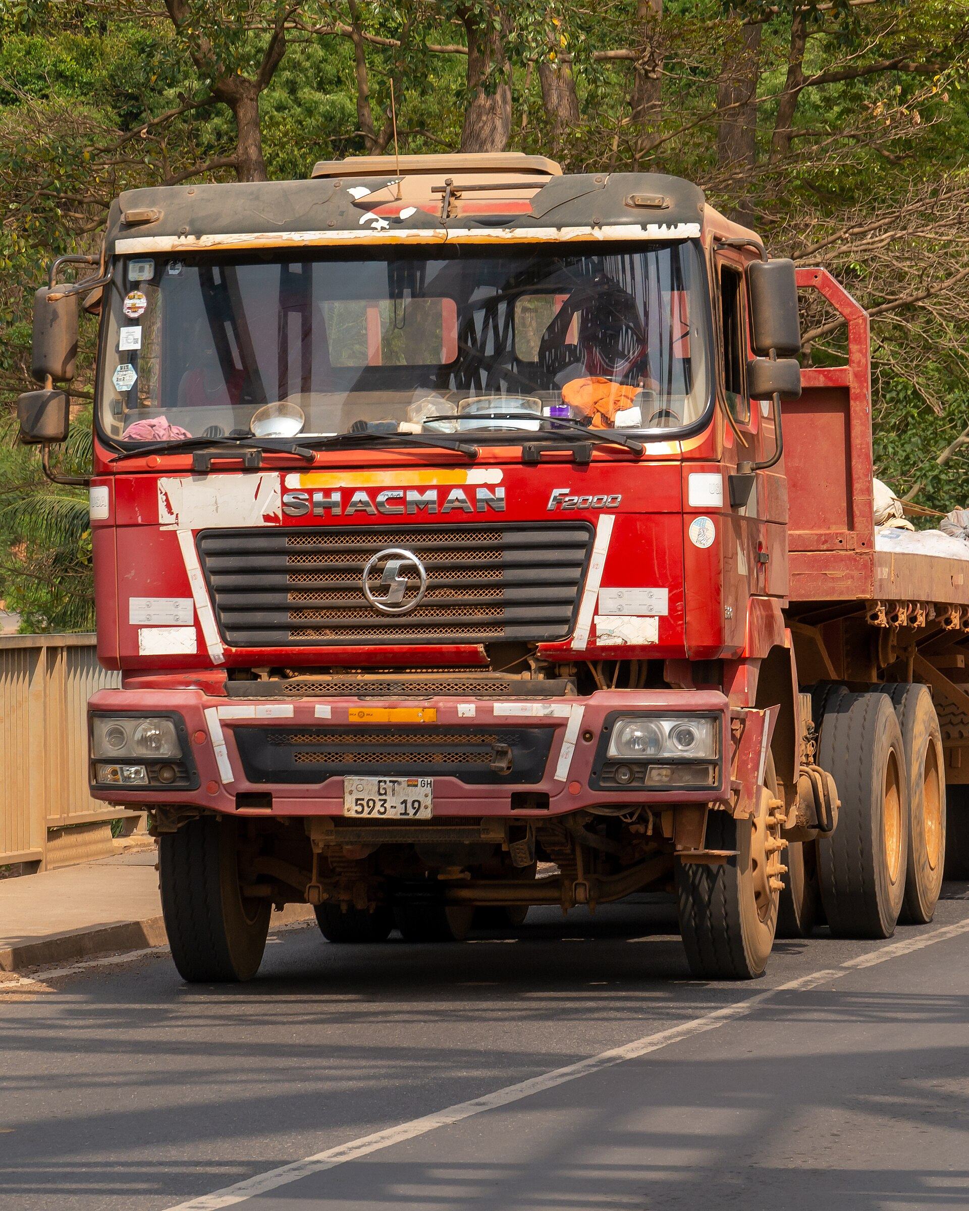
Asuogyaman is a district braided by the Volta Lake, and its economy is built on water and soil. Agriculture employs about 60 per cent of the population, with yam, cassava, plantain, banana and pepper among the principal crops, and the district has become the country's leading producer of tilapia, at around 12,000 metric tonnes a year. Atimpoku's own market trades on Mondays and Thursdays in yam, fish, tomatoes, charcoal and cassava, drawing from Somanya, Akrade and Odumase Ayemanso; goods move on from here to Accra, Tema and Koforidua. The district's other market days — Frankadua, Marine and Sapor on Fridays, Akosombo on Mondays and Thursdays — knit the lakeside towns into one trading rhythm. This is a working landscape rather than a staged one: canoes on the water, yam trucks on the N2, charcoal sacks stacked at the roadside. Visitors who time a trip to a market day see the district at its most itself.

What to do
Things to do in Atimpoku
-
1.Walk the Adomi Bridge
Ghana's first permanent crossing of the Volta and its longest suspension bridge is the reason many travellers stop at Atimpoku at all. The latticed steel arch rises in a silver crescent above the water, and the two-lane deck carries National Route N2 between the Eastern and Volta Regions. Walk the footway for views upriver towards the Akosombo Dam and down the green gorge, and look for the bridge's place in national memory — it has appeared on Ghanaian stamps and banknotes. It was classified as a tourist site in 2019, so expect a modest local charge.
Tip: Traffic moves quickly across the deck and there is no dedicated car park, so park well clear of the carriageway and keep children close; early morning gives the softest light and the calmest water.
-
Attraction
2.Shop the Atimpoku Abolo Market
Atimpoku's market runs twice a week, on Mondays and Thursdays, and deals mainly in yam, fish, tomatoes, charcoal and cassava. It is a genuine district trading floor rather than a souvenir stop: produce arrives from Somanya, Akrade and Odumase Ayemanso and moves onward to Accra, Tema and Koforidua. Come to watch the weighing, the bargaining and the loading of trucks, and to buy fruit or a bundle of yam for the road. The fish is lake-fresh, and the district is Ghana's leading tilapia producer.
Tip: Go in the morning while the market is at full pitch; ask before photographing traders and their stalls, and bring small notes for easy change.
-
3.Cruise Lake Volta to Dodi Island
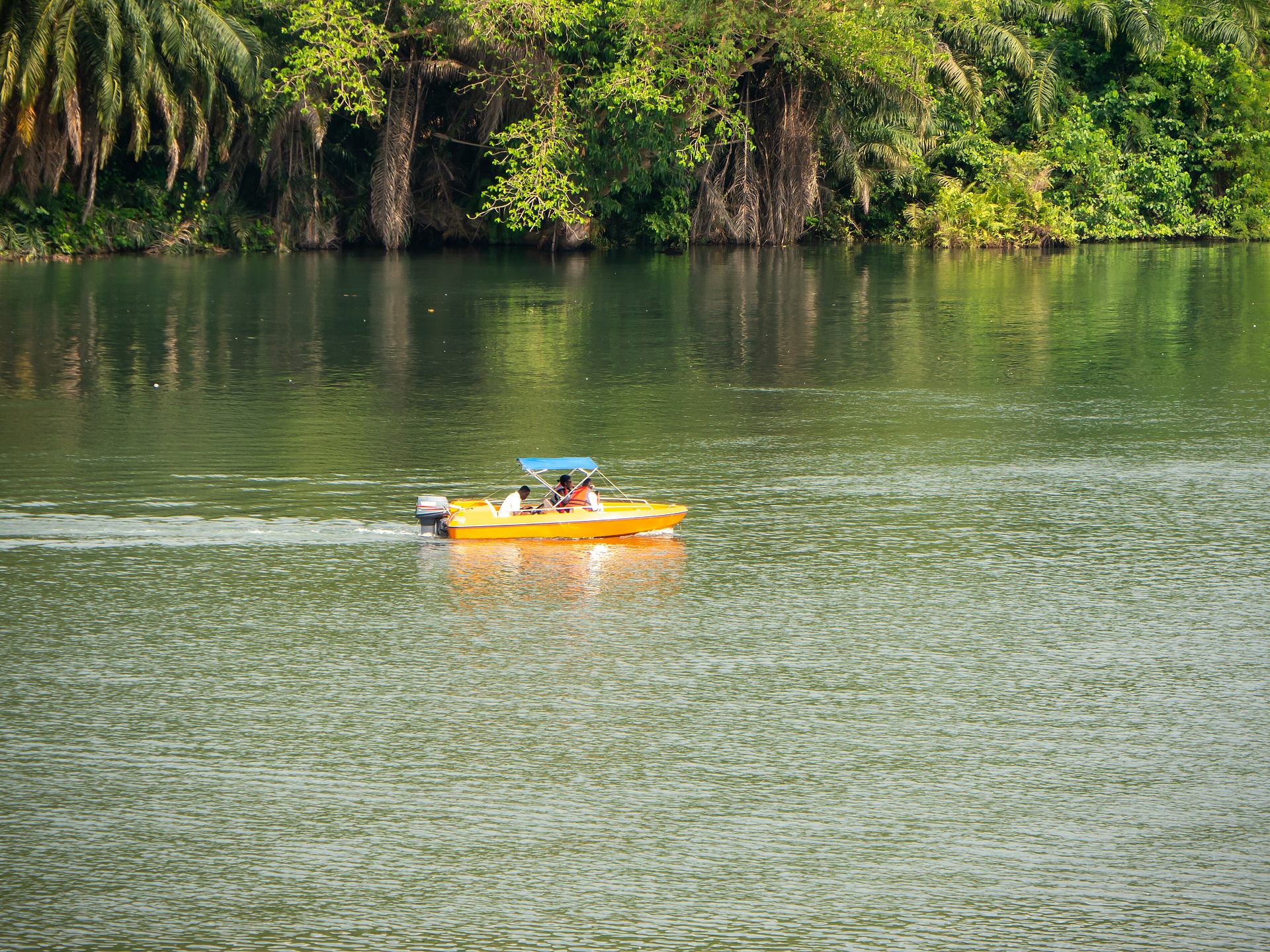
Boat trips run from the Akosombo waterfront, a short drive upriver from Atimpoku, out onto Lake Volta and across to Dodi Island, about 5 km offshore. The lake is the largest artificial lake by surface area in the world, and from the water you get the scale of it — open horizons, wooded shorelines and the Akwapim-Togo hills behind. Cruises typically include live highlife music and a stop on the island. The original Dodi Princess, Ghana's only cruise boat, was destroyed by fire in 2013 and replaced by the 176-passenger Dodi Princess II, which resumed service in 2019.
Tip: Book ahead through the operator and confirm sailing days before you travel, as lake cruises do not run on a fixed daily schedule; take sun protection, as the upper decks are open.
-
4.See the Akosombo Dam and its spillways
The dam that created Lake Volta stands in the Akosombo gorge a few minutes north of Atimpoku. Completed in 1965, it is a rock-fill embankment 660 m long and 114 m high, with twin spillways and six Francis turbines generating over 1,000 MW — the backbone of Ghana's electricity supply and an exporter of power to neighbouring countries. Viewing is generally from the Akosombo side and access to the plant itself is restricted, so treat this as a landscape and engineering stop rather than an open visitor attraction.
Tip: Check with the Volta River Authority before planning a visit, as official access and tours may be restricted; the dam is best appreciated from the Akosombo waterfront and the surrounding hills.
-
5.Climb into the Akwamu Hills Community Forest
Between Atimpoku and Akwamufie, on the eastern bank of the Volta, the Akwamu Hills rise to about 400 m and mark the southern end of the Akwapim-Togo Range where it meets the Akwapim Plateau in the Volta Gorge. The community forest on the crest is owned jointly by royal families of the Akwamu Traditional Area and holds sub-montane vegetation, around 20 species of medium to large mammals including several primates, and roughly 150 recorded bird species. The hilltop gives a rare panoramic view over the lower Volta system.
Tip: This is community and traditionally held land rather than a formal park, so arrange access locally and go with a guide; the climb is steep and best done in the cooler morning hours.
-
6.Follow the riverbank and the gorge viewpoints
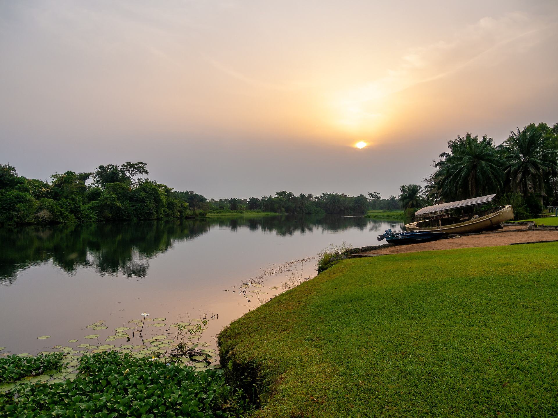
The stretch of the Volta around Atimpoku is where the river leaves the hills and slows before turning east across the Accra Plains. The banks below the bridge are a good place to watch canoes, nets and the comings and goings of the lakeside trade, and the surrounding hills give elevated views back over the bridge and the water. Photographers have long worked the bridge approaches, and the greenery, hill views and boats passing beneath make it one of the Eastern Region's most photographed scenes.
Tip: Late afternoon light is best for the bridge and the gorge; the ground near the water can be uneven and slippery after rain, so wear shoes with grip.
-
7.Visit Akwamufie, the Akwamu capital
A short drive upriver from Atimpoku, Akwamufie is the chief town of the Akwamu Traditional Area and the final capital of a state that once stretched 400 km along the Gulf of Guinea. The Akwamu empire rose in the 17th century through conquest, tribute and control of trade routes, and its people later led the 1733 slave revolt on St John in the Danish West Indies. Visiting the town is a chance to understand the deeper history of the ground you are standing on, and to see how a former imperial capital lives now.
Tip: This is a living traditional capital, so dress modestly, ask permission before entering or photographing anything connected to the palace or shrines, and consider a local guide to make introductions.
Plan your time
Suggested itinerary
Half a day: the bridge and the market
Start early at the Adomi Bridge while the light is soft and the water calm, walking the footway for views upriver towards the dam and down the gorge. Then drop into Atimpoku for the abolo market if you are there on a Monday or Thursday — yam, fish, tomatoes, charcoal and cassava, with trucks loading for Accra, Tema and Koforidua. Finish with a slow hour on the riverbank below the bridge, watching canoes and nets, before heading on along the N2.
Adomi Bridge (Volta Bridge)→Atimpoku Abolo Market
One day: bridge, lake and dam country
Begin at the Adomi Bridge, then drive the few minutes north to the Akosombo waterfront to see the dam and the spillways from a distance and to pick up a Lake Volta cruise out to Dodi Island, with highlife on deck and the Akwapim-Togo hills behind you. In the afternoon, return to Atimpoku for the market if it is a market day, or take the riverbank and gorge viewpoints for photographs as the light drops. If time allows, drive up to Akwamufie to see the Akwamu capital.
Adomi Bridge (Volta Bridge)→Atimpoku Abolo Market
Two days: river, hills and Akwamu history
Day one follows the one-day plan — bridge, dam, lake cruise and market. On day two, turn to the land: climb into the Akwamu Hills Community Forest between Atimpoku and Akwamufie for the hilltop panorama over the lower Volta, then spend the afternoon in Akwamufie, the final capital of the Akwamu empire, learning the history of a state that once reached from Winneba to Ouidah. Round off with an evening on the riverbank as the bridge lights come on.
Adomi Bridge (Volta Bridge)→Atimpoku Abolo Market

Seasons and festivals
When to go
Atimpoku sits in the Volta Gorge, where the Akwapim-Togo hills meet the river, and the district's climate is shaped by the lake. The Asuogyaman District Assembly notes that food prices in its markets rise towards the end of the year and are lowest during the bumper harvest, becoming expensive in the lean season of April to June — a useful guide to when the markets are fullest and cheapest. The lake's creation changed local hydrology, bringing less rain and higher temperatures than before the dam. The most reliable way to time a visit is around the district's market days: Atimpoku trades on Mondays and Thursdays, Akosombo on Mondays and Thursdays, and Frankadua, Marine and Sapor on Fridays. The Christmas and New Year holidays bring domestic visitors to the bridge, and the district has begun to develop its own tourism and arts festival, with Gyakiti proposed as a national Easter tourism site.
- Atimpoku market days · Mondays and Thursdays
- Atimpoku's market trades twice weekly in yam, fish, tomatoes, charcoal and cassava, drawing produce from Somanya, Akrade and Odumase Ayemanso and sending goods on to Accra, Tema and Koforidua. It is the simplest way to see the district's working life.
- Asuogyaman Tourism and Arts Festival · Dates vary; check locally
- A district-level festival celebrating Asuogyaman's tourism and arts, with the maiden edition held in the district. Gyakiti, a town in Asuogyaman, has been proposed for listing as a national Easter tourism site.
- Christmas and New Year at the bridge · Late December to early January
- The Adomi Bridge draws domestic visitors over the holidays for photography and sightseeing, and local photographers work the approaches. Expect the site to be busiest then.
Access
Getting there and around
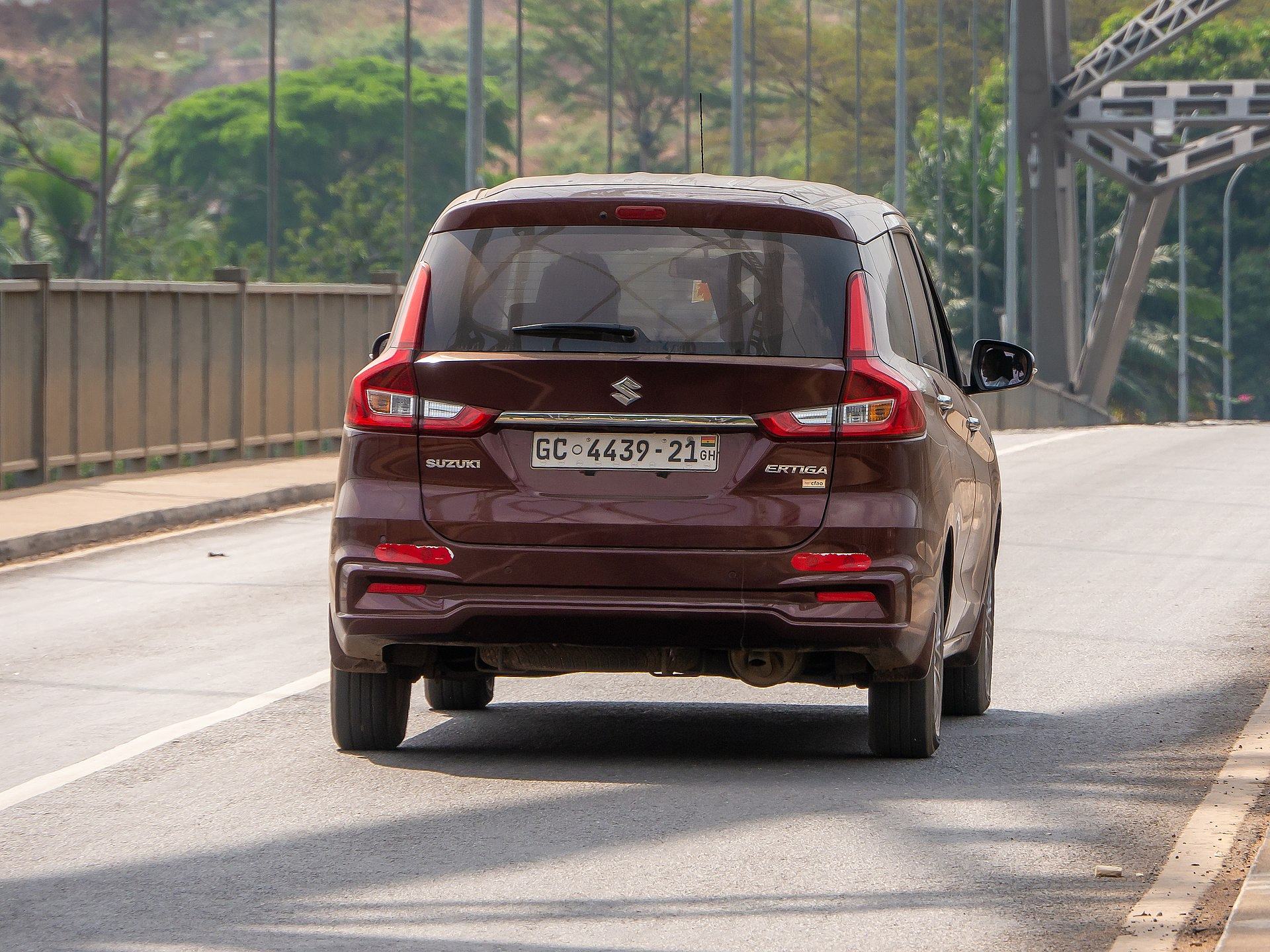
Atimpoku lies on National Route N2, about 87 km north-east of Accra and about 75 km north of the port of Tema, on the bank of the Volta River. The Adomi Bridge carries the N2 across the river and is the main road passage between the Eastern Region and the Volta Region, connecting Atimpoku with Juapong in North Tongu District, Ho, Hohoe and other Volta Region towns; traffic from Ghana's northern regions on the N2 crosses here. The bridge is maintained by the Ghana Highway Authority. The district has an estimated road network of about 185.9 km, of which 130.2 km is tarred and 55.7 km untarred, and the condition of some roads affects the transport of agricultural goods. Once in Atimpoku, the town is small enough to walk, and the Akosombo waterfront, the dam area and Akwamufie are short drives away. There is no dedicated car park at the bridge, so drivers park clear of the carriageway and walk to the viewpoints.
Good to know
Before you go
Atimpoku is a small working town, so plan around its rhythms rather than against them: the market runs on Mondays and Thursdays, and lake cruises from Akosombo do not sail on a fixed daily schedule, so confirm dates before you travel. The bridge is a classified tourist site and a modest local charge applies; there is no proper car park, so park well clear of the carriageway and take care, as traffic crosses quickly. Access to the Akosombo Dam and its power station is restricted, so check with the Volta River Authority before planning a visit. The Akwamu Hills Community Forest and Akwamufie are traditionally held land — dress modestly, ask permission before photographing people, palaces or shrines, and go with a local guide. Take sun protection and water for the open decks and hill walks, wear shoes with grip for the riverbank, and carry small notes for markets. The lake is a working waterway: swim only where locals say it is safe, and be aware of bilharzia and mosquito-borne illness in the area.

FAQ
Questions travellers ask about Atimpoku
Where is Atimpoku in Ghana?
Atimpoku is a small town on the Volta River in the Eastern Region of Ghana, and it is the capital of the Asuogyaman District. It lies on National Route N2, about 87 km north-east of Accra and about 75 km north of Tema, just downstream of the Akosombo Dam.
What is the Adomi Bridge famous for?
The Adomi Bridge, originally the Volta Bridge, is the first permanent bridge to span the Volta River and Ghana's longest suspension bridge. Opened by Kwame Nkrumah on 25 January 1957, its silver crescent-shaped steel arch has featured on Ghanaian stamps and currency, and it was classified as a tourist site in April 2019.
When is the market at Atimpoku?
Atimpoku's market trades on Mondays and Thursdays, dealing mainly in yam, fish, tomatoes, charcoal and cassava. It draws produce from Somanya, Akrade and Odumase Ayemanso and sends goods on to Accra, Tema and Koforidua.
Can you cruise Lake Volta from Atimpoku?
Boat cruises run from the nearby Akosombo waterfront out onto Lake Volta and across to Dodi Island, about 5 km offshore, usually with live music and a stop on the island. The current vessel is the 176-passenger Dodi Princess II, which resumed service in 2019 after the original Dodi Princess was destroyed by fire in 2013.
Can you visit the Akosombo Dam?
The dam is visible from the Akosombo area, but access to the plant itself is restricted and official tours may be limited, so check with the Volta River Authority before planning a visit. Completed in 1965, it is a rock-fill embankment dam that created Lake Volta and supplies most of Ghana's electricity.
Who are the Akwamu people of Asuogyaman?
The Akwamu are an Akan people whose empire rose in the 17th century and at its height reached about 400 km along the Gulf of Guinea, from Ouidah to Winneba. Their chief town is Akwamufie, near Atimpoku, and about 60,000 Akwamu live in Ghana today, many in Eastern Region towns such as Akwamufie, Atimpoku and Senchi.
How big is Lake Volta?
Lake Volta covers 8,502 sq km, or 3.6 per cent of Ghana's land area, making it the largest artificial lake by surface area in the world. It is about 400 km long and was formed between 1962 and 1966 by the Akosombo Dam, displacing roughly 80,000 people from about 740 villages.
In pictures
Atimpoku in pictures
Keep exploring
More destination guides
Sources for this guide (11)
- Adomi Bridge — Wikipedia
- Atimpoku — Wikipedia
- Asuogyaman District — Wikipedia
- Akosombo Dam — Wikipedia
- Akosombo Dam — Encyclopaedia Britannica
- Lake Volta and Volta River — Encyclopaedia Britannica
- Akwamu Empire — Wikipedia
- Dodi Princess — Wikipedia
- Asuogyaman District Assembly Composite Budget 2025–2028 — Ministry of Finance
- Internal tourists call for parking space at Adomi Bridge — Modern Ghana / GNA
- Akwamu People — Trip Down Memory Lane
Written September 29, 2026 from these sources and reviewed by the VisitGhana.app team. Confirm practical details locally before travelling.


